
Top 5 Tips for Immersive Navigation with Google Maps
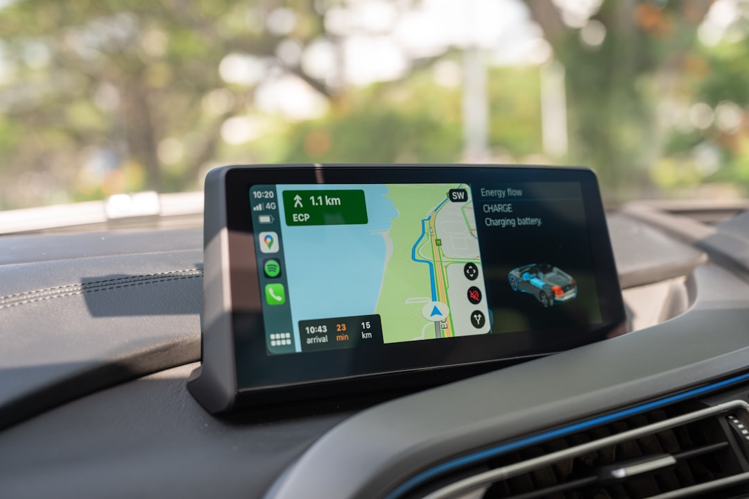
Google Maps has revolutionized the way individuals navigate their surroundings, providing a user-friendly interface that simplifies the process of finding directions. At its core, Google Maps offers a straightforward method for users to input their starting point and destination, generating a variety of route options. The application utilizes GPS technology to pinpoint the user’s location in real-time, ensuring that the directions are accurate and up-to-date. This feature is particularly beneficial for those who may be unfamiliar with an area, as it allows them to explore new routes with confidence.
Moreover, Google Maps provides various modes of transportation, including driving, walking, biking, and public transit. Each mode is tailored to offer the most efficient route based on the user’s chosen method of travel. For instance, when selecting public transit, Google Maps not only provides directions but also includes information about schedules and transfer points. This comprehensive approach to navigation makes it an indispensable tool for anyone looking to traverse both urban and rural landscapes.
Utilizing Street View for a Realistic Experience
One of the standout features of Google Maps is its Street View functionality, which allows users to virtually explore locations as if they were physically present. By clicking on the little yellow figure icon, users can access panoramic images captured by Google’s camera-equipped vehicles. This immersive experience enables individuals to familiarize themselves with their destination before arriving, making it particularly useful for travelers or those visiting unfamiliar neighborhoods.
Street View also serves practical purposes beyond mere exploration. For example, users can assess the accessibility of a location, check for parking availability, or even scout out nearby landmarks. This feature can be invaluable for planning trips or meetings, as it provides a realistic preview of what to expect upon arrival. Additionally, Street View is continually updated, ensuring that users have access to the most current images and information about their surroundings.
Customizing Your Route with Multiple Stops
Google Maps offers the ability to customize routes by adding multiple stops along the way, which can enhance travel efficiency and enjoyment. This feature is particularly advantageous for road trips or when running errands, as it allows users to plan their journey according to personal preferences. By simply tapping on the “Add Stop” option, individuals can input additional destinations, rearranging them as needed to create an optimal route.
This capability not only saves time but also encourages exploration. For instance, a user might choose to visit a scenic viewpoint or a local restaurant while en route to their primary destination. By integrating these stops into their journey, travelers can discover hidden gems that they might otherwise overlook. Furthermore, Google Maps recalculates the route in real-time, ensuring that users receive updated directions that account for their added stops.
Taking Advantage of Offline Maps for Remote Areas
In an age where connectivity is often taken for granted, Google Maps provides a valuable feature that allows users to download maps for offline use. This is particularly beneficial for those venturing into remote areas where cellular service may be unreliable or nonexistent. By downloading specific regions ahead of time, users can access essential navigation tools without needing an internet connection.
To utilize offline maps effectively, users should select the area they wish to download while connected to Wi-Fi. Once downloaded, these maps retain their functionality, allowing individuals to search for locations and receive directions even when they are out of range. This feature not only enhances convenience but also ensures that users can navigate confidently in unfamiliar territories without the fear of losing connectivity.
Using Voice Commands for Hands-Free Navigation
| Metrics | Data |
|---|---|
| Distance Traveled | 10 miles |
| Time Spent | 30 minutes |
| Number of Turns | 8 |
| Arrival Time Accuracy | 90% |
For those who prefer a hands-free approach to navigation, Google Maps offers voice command functionality that enhances safety and convenience. By simply saying “Hey Google,” users can activate voice commands to request directions or ask for information about nearby places without taking their hands off the wheel or their eyes off the road. This feature is particularly useful for drivers who need to maintain focus while navigating busy streets.
Voice commands extend beyond just getting directions; users can inquire about traffic conditions, estimated arrival times, and even request rerouting if they encounter unexpected delays. This level of interactivity allows for a seamless navigation experience while prioritizing safety. As technology continues to evolve, voice commands are becoming an integral part of how individuals interact with navigation systems, making journeys more efficient and enjoyable.
Exploring Nearby Places and Points of Interest
Google Maps is not just a navigation tool; it also serves as a comprehensive guide to nearby places and points of interest. Users can easily search for restaurants, parks, museums, and other attractions in their vicinity by simply entering relevant keywords into the search bar. The application provides a wealth of information about each location, including user reviews, photos, and operating hours.
This feature encourages exploration and discovery, allowing users to make informed decisions about where to eat or what to see during their travels. For instance, someone visiting a new city might use Google Maps to find highly-rated local eateries or popular tourist spots based on user feedback. Additionally, the “Explore” tab offers curated lists of recommended places tailored to individual preferences, further enhancing the user experience.
Saving Favorite Locations for Quick Access
Google Maps allows users to save their favorite locations for quick access in the future. This feature is particularly useful for frequent travelers or individuals who often visit specific places such as work or family homes. By saving these locations under “Your Places,” users can easily retrieve directions without needing to search each time.
Saving favorite locations also extends beyond personal convenience; it can enhance social interactions as well. For example, if someone frequently visits a particular coffee shop or park, they can quickly share that location with friends or family members who may want to join them. This functionality fosters connections and encourages shared experiences among loved ones.
Sharing Your Location and ETA with Friends and Family
In an increasingly connected world, sharing one’s location has become a common practice among friends and family members. Google Maps facilitates this by allowing users to share their real-time location and estimated time of arrival (ETA) with others. This feature is particularly useful when meeting up with friends or when someone is traveling alone and wants to keep loved ones informed of their whereabouts.
To share location details, users simply need to tap on the “Share your location” option within the app. They can choose how long they want to share their location—whether it’s for a few minutes or indefinitely—and select specific contacts from their address book. This level of transparency not only enhances safety but also fosters trust among friends and family members who may worry about each other’s journeys.
Avoiding Traffic and Delays with Real-Time Updates
One of the most significant advantages of using Google Maps is its ability to provide real-time traffic updates and route adjustments based on current conditions. The application analyzes data from various sources, including user reports and historical traffic patterns, to offer accurate predictions about potential delays along a user’s route. This feature empowers individuals to make informed decisions about their travel plans.
When encountering heavy traffic or road closures, Google Maps automatically suggests alternative routes that may save time. Users can receive notifications about accidents or construction zones ahead of time, allowing them to adjust their plans accordingly. By leveraging this real-time information, travelers can avoid frustrating delays and arrive at their destinations more efficiently.
Navigating Public Transportation and Walking Routes
For those who prefer public transportation or walking as their primary means of travel, Google Maps offers detailed guidance tailored specifically for these modes of transport. Users can input their starting point and destination to receive step-by-step directions that include information about bus routes, train schedules, and walking paths.
This functionality is especially beneficial in urban environments where public transit systems can be complex and challenging to navigate. Google Maps provides users with estimated arrival times for buses or trains and alerts them when it’s time to board or transfer between lines. Additionally, walking directions include pedestrian-friendly routes that prioritize safety and accessibility.
Making the Most of Google Maps on Different Devices
Google Maps is designed to be versatile and accessible across various devices, including smartphones, tablets, and desktop computers. Each platform offers unique advantages that cater to different user needs. For instance, while navigating on a smartphone provides real-time GPS tracking and voice commands for hands-free use, accessing Google Maps on a desktop allows for larger screen visibility when planning trips or exploring new areas.
Users can seamlessly sync their saved locations and preferences across devices by signing into their Google account. This means that whether someone is planning a trip at home on their computer or navigating while on the go with their phone, they will have access to the same information and tools. This cross-device compatibility enhances the overall user experience and ensures that individuals can make the most out of Google Maps no matter where they are or what device they are using.
In conclusion, Google Maps has become an essential tool for navigation in today’s fast-paced world. Its myriad features—from real-time traffic updates to offline maps—empower users to navigate confidently and efficiently in various environments. Whether exploring new cities or simply finding the quickest route home, Google Maps continues to enhance how individuals interact with their surroundings.